Collect input on a map.
Present it anywhere.

WikiMapping is where planning consultants, MPOs, and DOTs collect community feedback, present it to the board, and export it to the tools their reports are built in. Start free, set it up yourself.

Share a link. Collect hundreds of responses.

The public drops pins, draws routes, uploads photos, and answers survey questions — directly on the map. No account required. Every response is tied to a location.
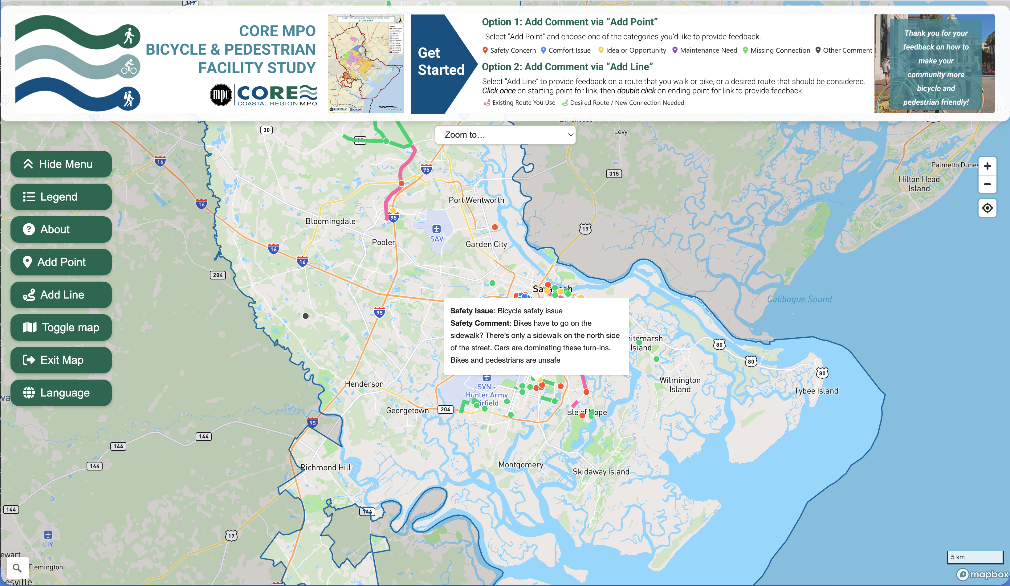
CORE MPO community input map showing hundreds of survey responses across Savannah

Walk the board through every finding.

Build interactive presentations that fly between map locations. Each slide shows the feature, its photos, and survey data. Share via link or present full-screen at a meeting.
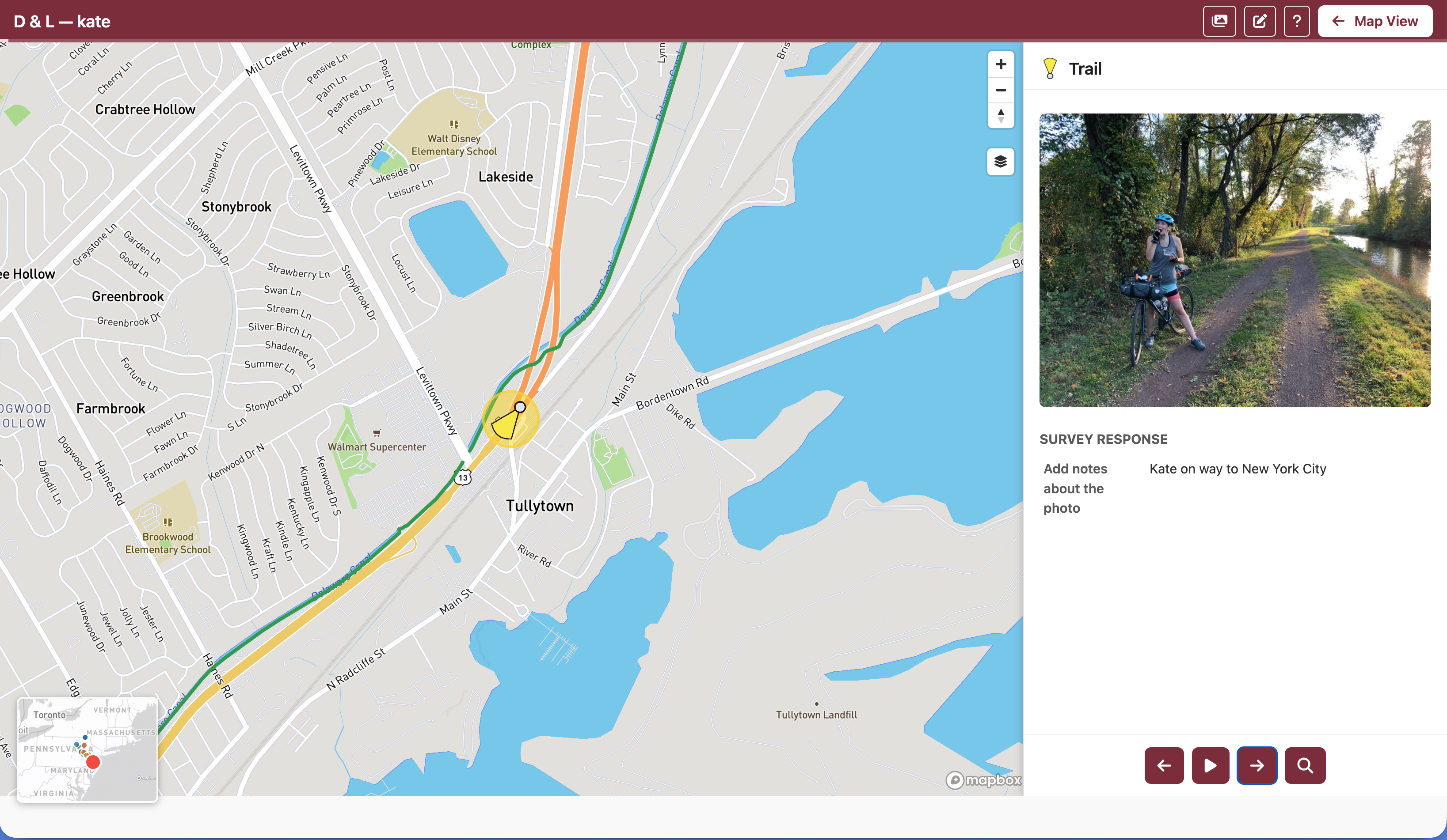
Presentation mode showing a location with map context and survey data

Import data. Analyze demographics. Export to GIS.

Import GeoJSON, CSV, KML, shapefiles, and geotagged photos. Overlay Census demographics, visualize commuting flows, and compute ratios like population density or renter occupancy — all without leaving the browser.

Export styled data to QGIS, ArcGIS, and GeoPackage with category icons, colors, and survey responses intact. Your GIS team gets production-ready layers, not raw dumps.
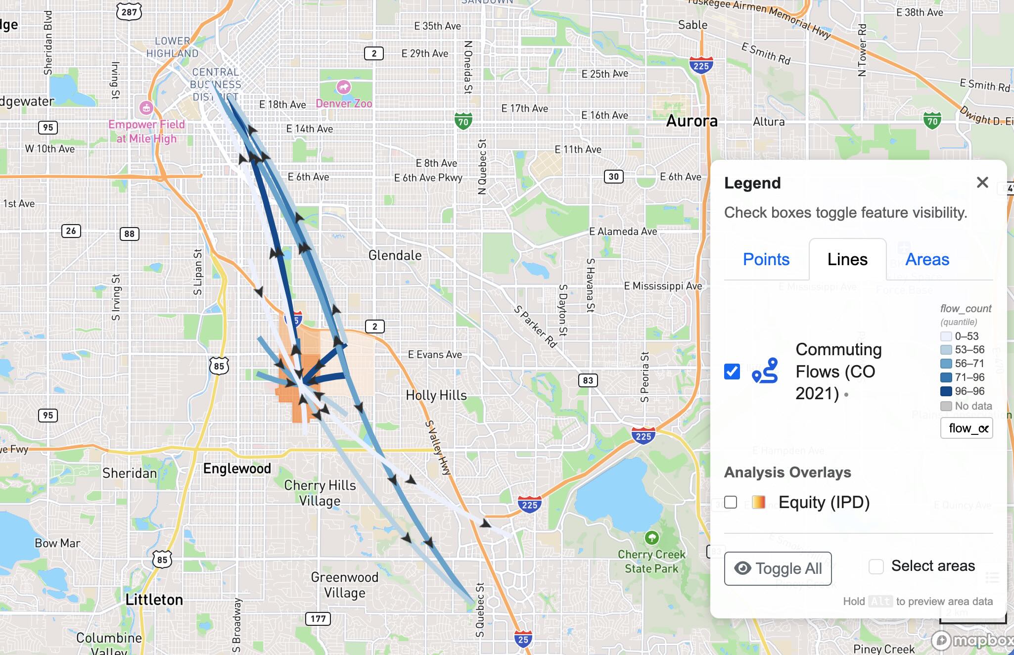
Census commuting flow analysis showing curved arc lines between tracts

Built for the people who plan, build, and maintain communities.

Planning Consultants

Collect public input for transportation plans, bike/ped studies, and SS4A projects. Export data for your reports. Present to your client's board.

MPOs & DOTs

Manage regional data collection across jurisdictions. Import Census demographics, analyze commuting patterns, and produce atlas-quality reports.

Municipalities

Run public engagement for capital projects, zoning, and master plans. Let residents map concerns from their phone. Show council what the community said.

Community Organizations

Trail councils, land trusts, neighborhood groups. Map assets and concerns without GIS expertise. Share results with funders and partners.

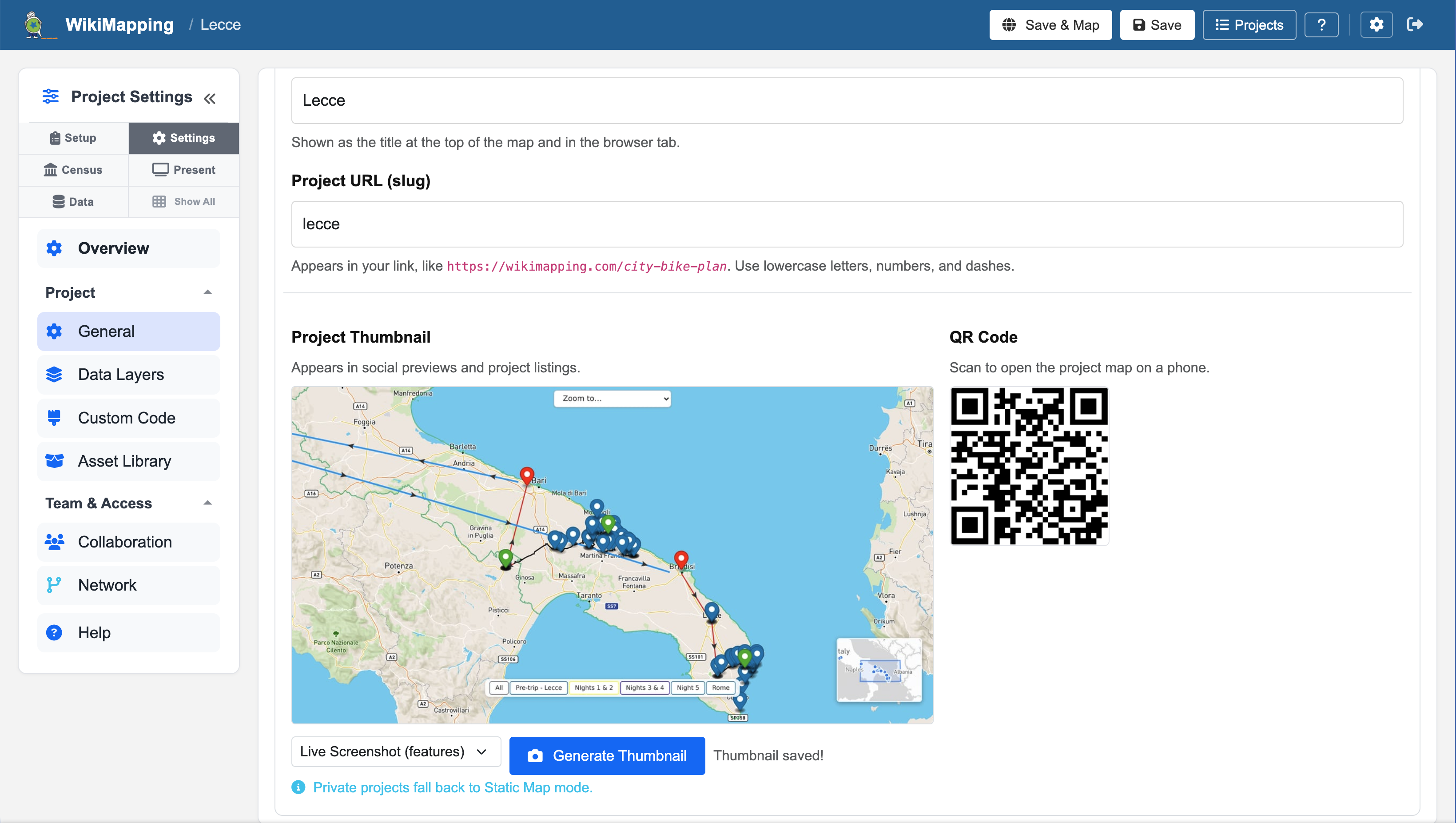
Set up a project in minutes, not weeks.

Define your categories, attach surveys, set your map area, and share the link. WikiMapping handles the rest — mobile-friendly input, real-time data, and automatic organization.

No GIS required. No software to install. No IT department needed.

Start Your First Project →
WikiMapping project editor showing Setup overview with categories and surveys

Your maps should work as hard as you do.

Start with one project. Add categories, collect input, present results. WikiMapping grows with you — from a single public comment map to an organization-wide engagement platform.

Enterprise-ready: SSO, MFA, audit logging, and anonymous participation. Your data stays yours.